
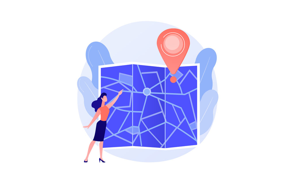
Using Google Maps: Driving
Here’s how to use Google Maps on either a computer or your phone to plan trips using a personal vehicle:
- Open Google Maps, type in your destination, and click “Directions.”
- Next, type in your starting point. You can choose a specific address or any named location where you want to start your trip. Afterward, click this icon:

3. Google Maps will then give you several trip options to choose from. Here are examples of what your trip may look like:

4. You can also plan your trip using Google Maps planning features! When choosing your route, click the “Leave now” option and choose “Depart at” or “Arrive by.” These options will help you estimate how long your trip might take at a specific time or help you decide when you should leave.

Using Google Maps: Public Transit
Here’s how to use Google Maps on either a computer or your phone to plan trips using public transit:
- Open Google Maps, type in your destination, and click “Directions.”
- Next, type in your starting point. You can choose a specific address or any named location where you want to start your trip. Afterward, click this icon:

3. Google Maps will then give you several trip options to choose from. These can involve walking, buses, train rides, or other public transit options. Here is an example of what your trip may look like:

4. You can also plan your trip using Google Maps planning features! When choosing your route, click the “Leave now” option and choose “Depart at” or “Arrive by.” These options will help you estimate how long your trip might take at a specific time or help you decide when you should leave.

Using Google Maps: Biking
Here’s how to use Google Maps on either a computer or your phone to plan trips using a bike:
- Open Google Maps, type in your destination, and click “Directions.”
- Next, type in your starting point. You can choose a specific address or any named location where you want to start your trip. Afterward, click this icon:

3. Google Maps will then give you several trip options to choose from. Here are examples of what your trip may look like:

Using Google Maps: Walking
Here’s how to use Google Maps on either a computer or your phone to plan trips on foot:
- Open Google Maps, type in your destination, and click “Directions.”
- Next, type in your starting point. You can choose a specific address or any named location where you want to start your trip. Afterward, click this icon:

3. Google Maps will then give you several trip options to choose from. Here are examples of what your trip may look like:
